How Remote Landscape Design Actually Works: What We See That a Single Site Visit Misses
Can a designer really understand your yard without visiting it? See how photos, sun mapping, and topographical data build a precise, buildable plan.
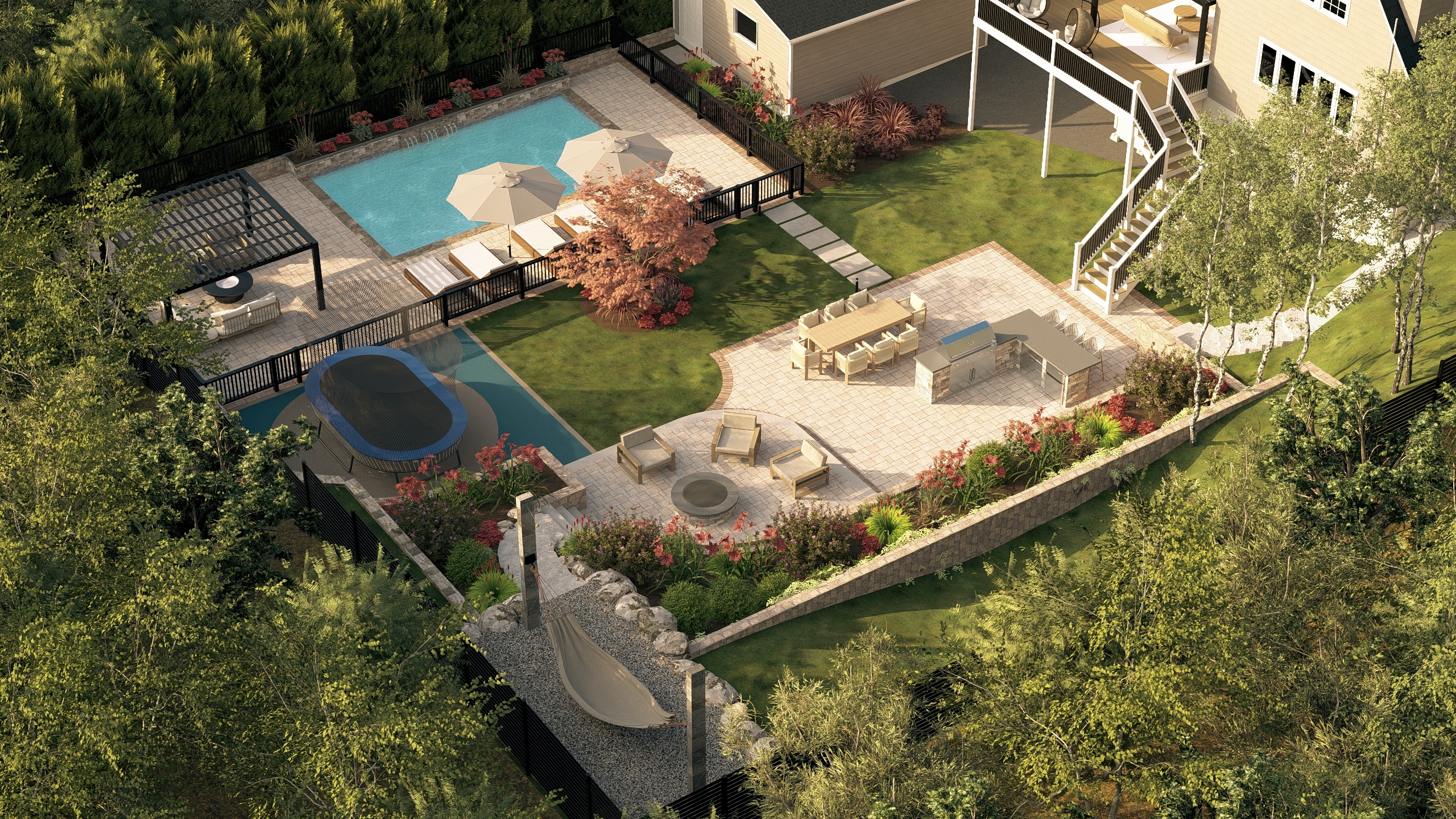
One of the most common questions homeowners ask is how we can design a landscape without setting foot in their homes. Undoubtedly, it's a reasonable question, but modern digital planning and design is far more complete. A single site visit captures one moment on one day, while a properly run virtual design process builds a full picture of your yard across seasons, sun angles, and slope, often catching details an in-person visit would miss entirely.
If you want to know how the process of remote landscape designing works and is better than site visits, just read through this guide and get all your answers at once.
Capture the Yard
Regular yard walkthroughs are replaced with digital photo and video systems. The homeowners are provided with a shot list that covers all the focal points, certain angles, and problematic areas. Video walkthroughs basically help the designer cover all the areas that are undetectable in photos, like uneven ground. The rest of the information, like family usage and drainage patterns, is covered in the detailed onboarding questionnaire.
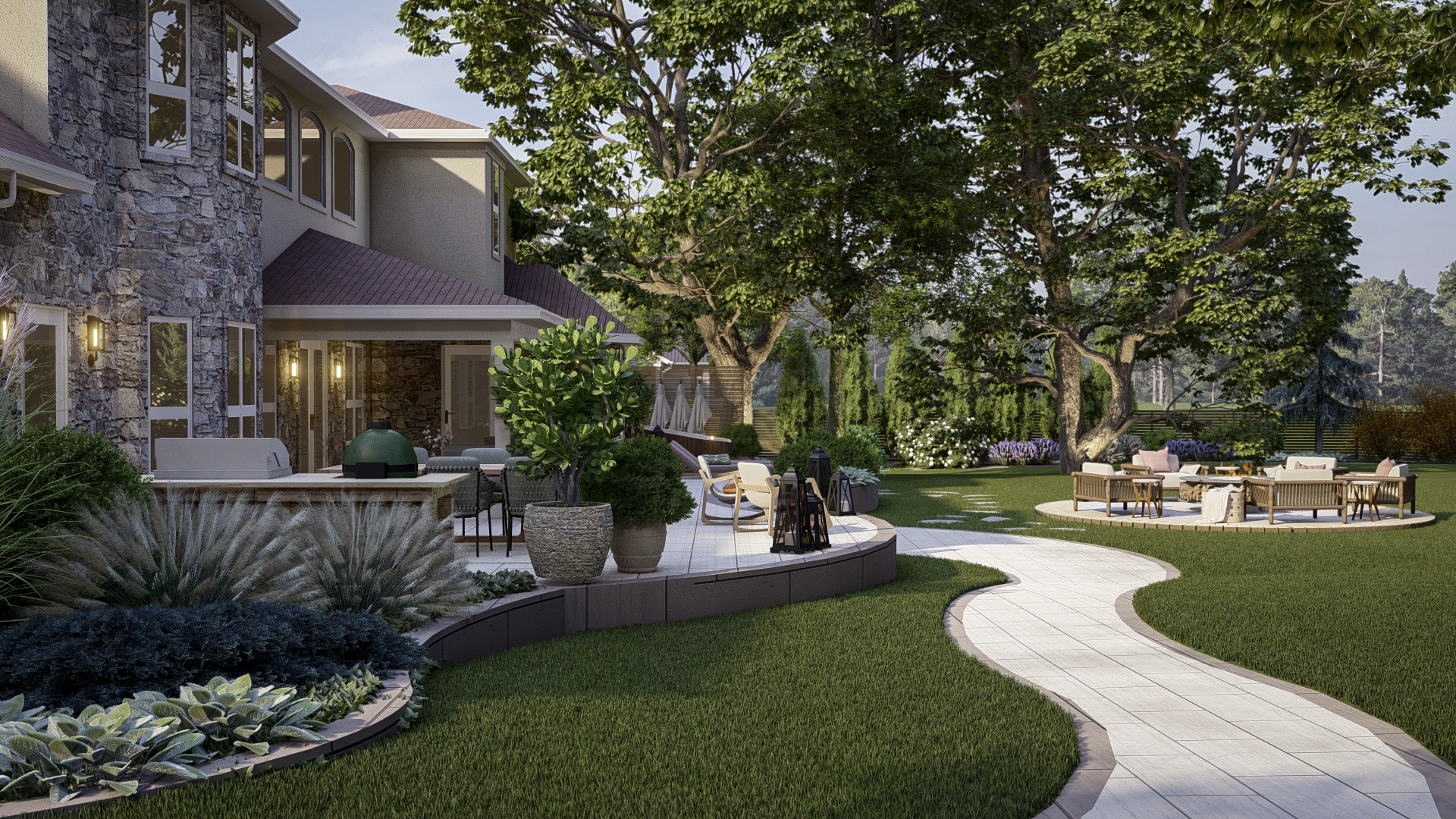
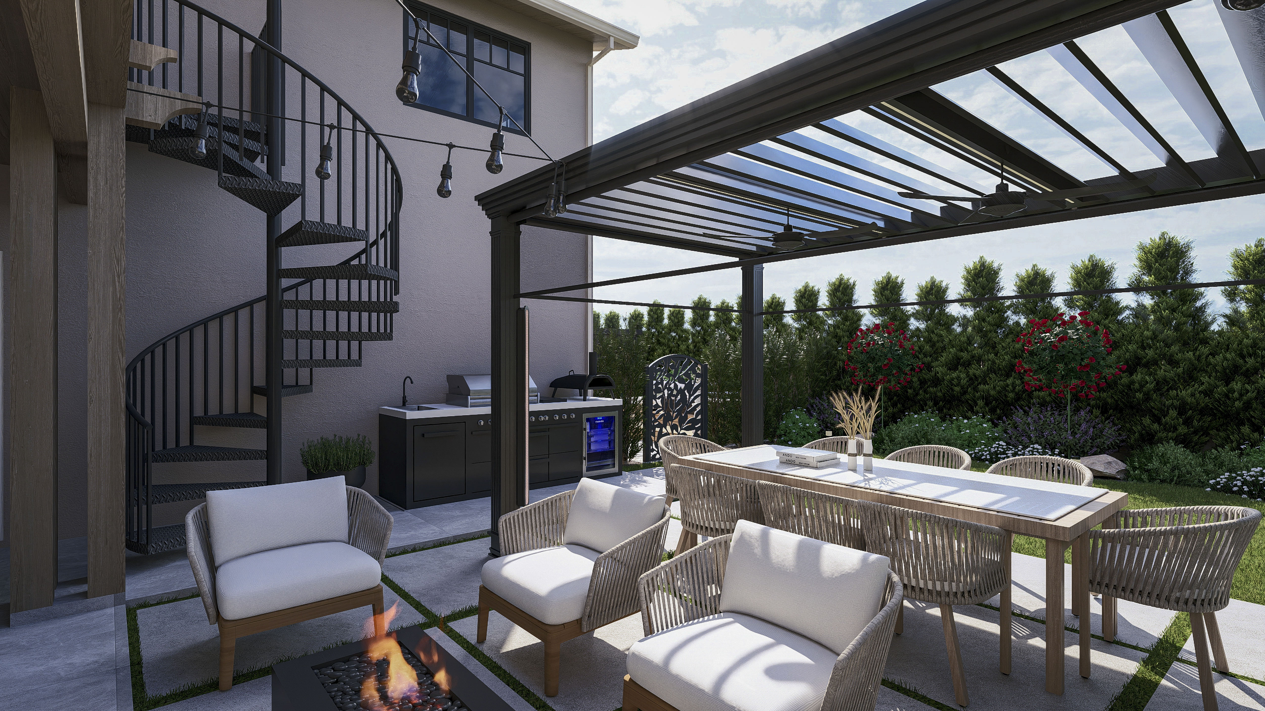
For instance, our client in Sacramento thought her 3D rendering was going to look like a basic template, but when she received the rendering, she was quite satisfied. 3D rendering was built from her actual property measurements, showing her mature oak tree in its real location and a pergola positioned to clear her kitchen window sightline by the exact margin she'd worried about.
Track the Sun Angles
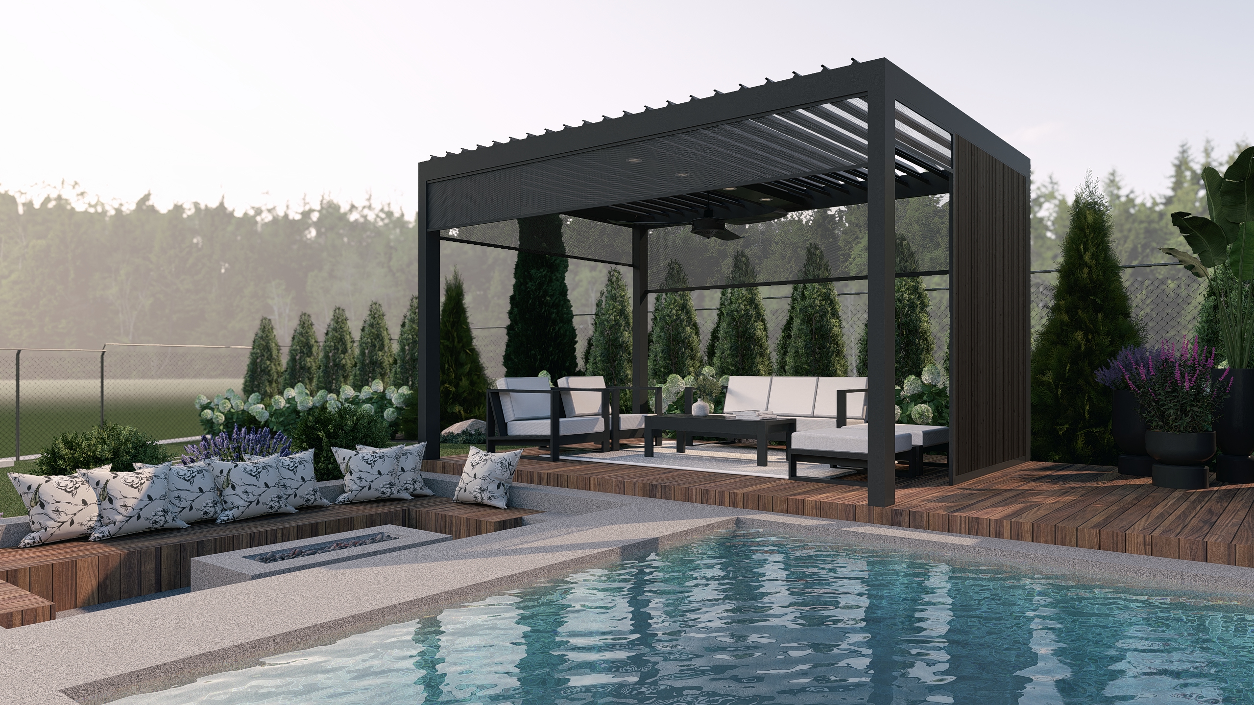
If a local designer visits your yard, he is only able to detect the sun’s angle at a specific time of day. However, an online designer uses sun mapping software to identify sun angles all year round by focusing on the latitudes and positioning of the neighbouring trees and buildings. It helps you understand the light patterns in your yard and then decide the design elements as per your requirements. Also helps you avoid major mistakes like building a shaded area where morning light is needed most.
One of our clients in Denver was quite skeptical about the changes she wanted to make in her north-facing yard. She thought an in-person visit would be the best option for the design plan. However, we used our sun path software to detect that the yard got four hours of afternoon light. Then the designer used this information and decided to install a shade-tolerant seating nook in the yard for a seamless experience.
Document Slopes and Elevation
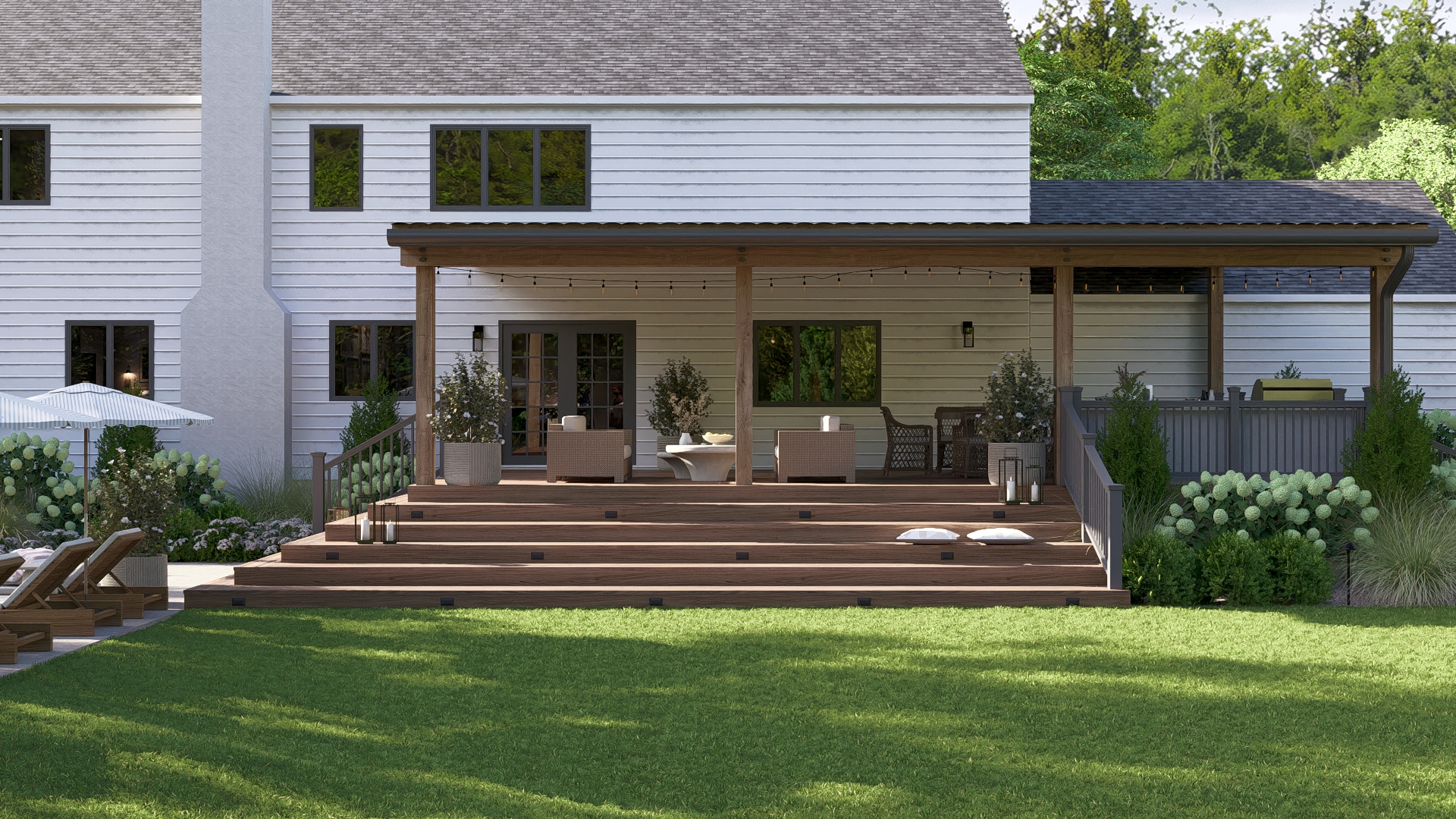
The designers use high-resolution photos from different angles and detailed continuous videos to evaluate the ground elevation. It does not necessarily need a site visit or walk to access the elevations and slopes. Designers combine your visual files with public GIS topographical data to map ground contours. This combination reveals exact elevation changes across your entire property footprint. To better understand sloped or uneven yards, go through our guide on landscaping a sloped yard.
One of our clients in Denver had an uneven yard that dropped 4 feet from the back door to the fence line. Our designer planned a terraced patio with retaining walls, keeping the client's ground elevation in mind. He combined the topographical data with the photos and the video walk-throughs to better understand the yard and then provide the best design solution for the client.
Local Expertise
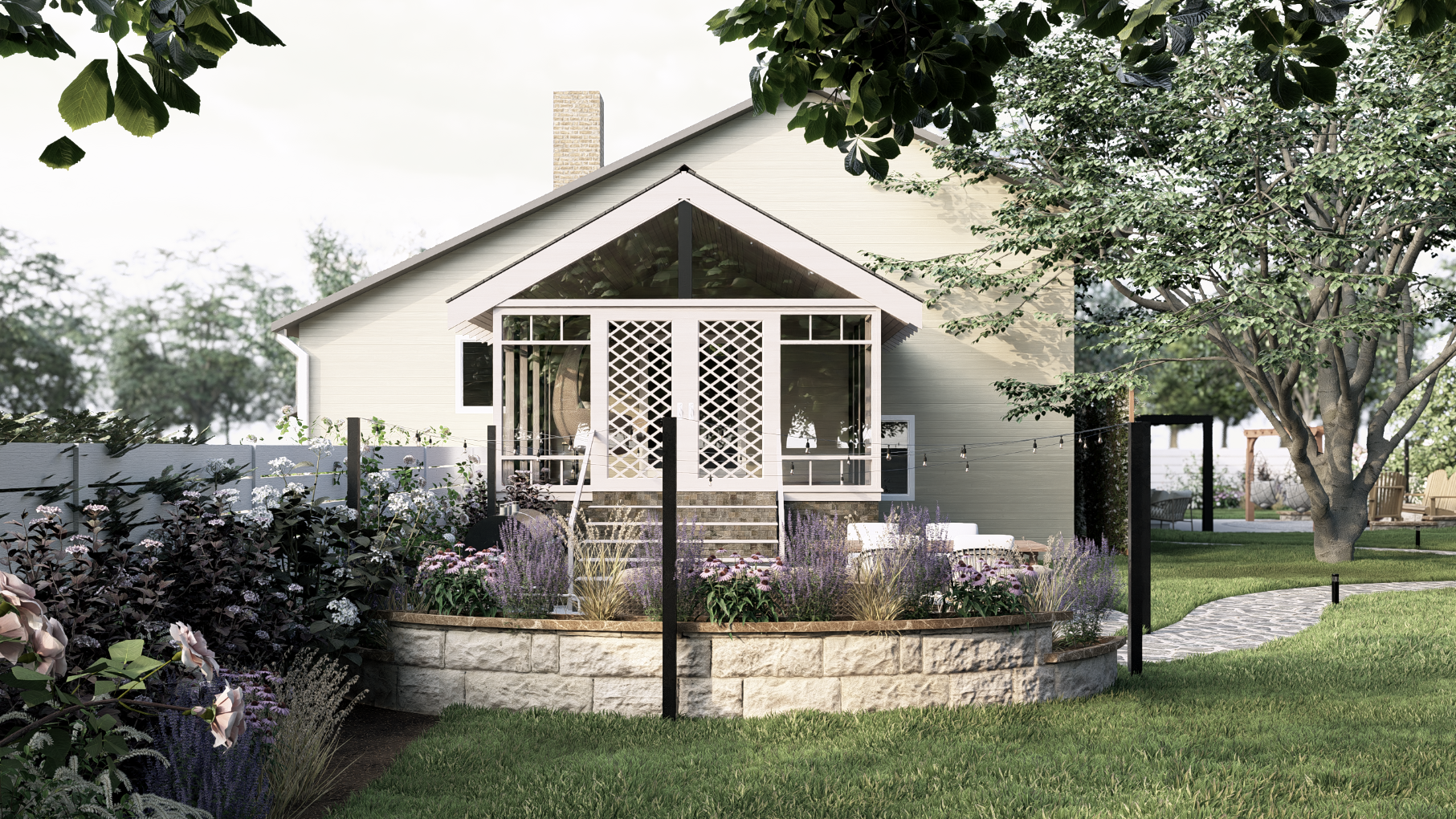
Online designing does not mean that the designer is not familiar with your local climate and regional requirements. You are assigned a designer who has expertise in your region and is well familiar with your seasonal temperatures, rainfall, soil types, and plant hardiness zones. Specifically for plant selection, the designer checks if the species thrives locally, then checks availability with the local nursery, and then makes the choice. It's not like whatever looks good in the rendering is approved.
Our dedicated online designers check every aspect of the selection they are going to make, including the materials too.
For instance, one of the homeowners was worried that the online designer would not be able to select the right plant for his yard, considering the winters in Minneapolis. We matched him with a designer who had previously done similar projects in the same USDA zone. The designer made sure to select the plants that were able to thrive well in the climate and were also available in a nursery that was only fifteen minutes away from his home.
No Gap Left
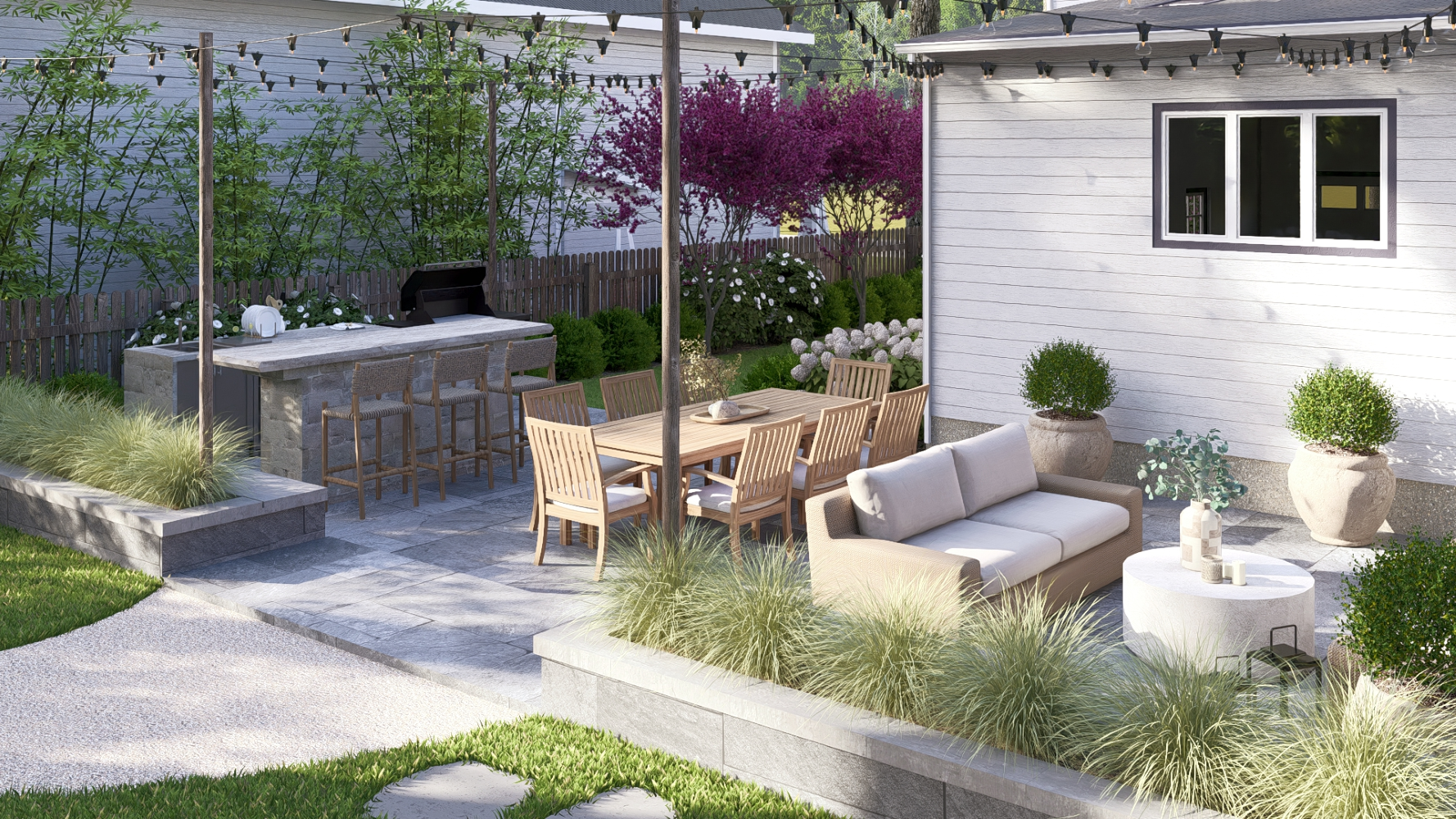
A remote design package provides a clear conceptual master plan for your yard rather than a final millimeter-precise survey. Local contractors usually walk through your place before starting their work, which helps them assess if the digital design is physically buildable.
The pre-build site walk verifies underground utilities, soil density, and exact gate access points. This step complements your design documentation seamlessly and helps identify any discrepancies. To see how these design plans result in a beautiful-looking yard, review what happens after the design is done. Sometimes, video calls during your project also help resolve any unique site questions that arise from the contractor or even the homeowner.
If minor site adjustments occur during construction, our team provides updated CAD drawings so your contractor moves forward smoothly. Hence, our designers are always readily available to answer all your queries even after the design is done and construction is ongoing. You can see how easy this handoff is by exploring our guide on how to hand your design off to a landscape contractor.
For instance, a homeowner in Charlotte had her contractor discover an unmarked shallow utility line during the pre-build walk. Her designer quickly issued an updated CAD drawing to reroute a planned planting bed around the line without delaying construction.
Conclusion
Many homeowners starting their research often question if a designer can understand a property without visiting it in person. But by the end of our online design process, most of them discover that a data-rich approach catches details that a single site walk often overlooks. Hence, digital planning provides a comprehensive lens that captures your property across every season.
Book a free 1:1 consultation with a BACQYARD designer today to see how we turn your property photos and data into a complete buildable plan.
Related Articles
.png)




Ready to co-design your outdoor space?
Start now—secure checkout, no hidden fees. Prefer to talk first? We’re happy to meet you.